Fresh snow fell in the California mountains on Wednesday, adding to a staggering total that has blocked roads, stranded visitors for days, and left thousands of homes and businesses in the cold without electricity.
The Sierra Nevada range in the north and Southern California mountains were under blizzard warnings for a storm overnight into early Wednesday that snowed in some areas, dumped rain in others and chilled much of the state.
The heavy snow was expected to end Wednesday afternoon after an additional 1 to 2 feet (30 to 60 centimeters) falls in the region, according to the National Weather Service.
Record cold was possible, with lows down to 28 degrees (minus 2.2 Celsius), and the National Weather Service issued freeze and frost warnings into early Wednesday in the San Francisco Bay Area and elsewhere.
The University of California, Berkeley Central Sierra Snow Laboratory near Donner Pass reported that nearly 41.7 feet (12.7 meters) has fallen since October, more than in any snow year since 1970 and second only to the record of 66.7 feet (20.3 meters) in 1952.
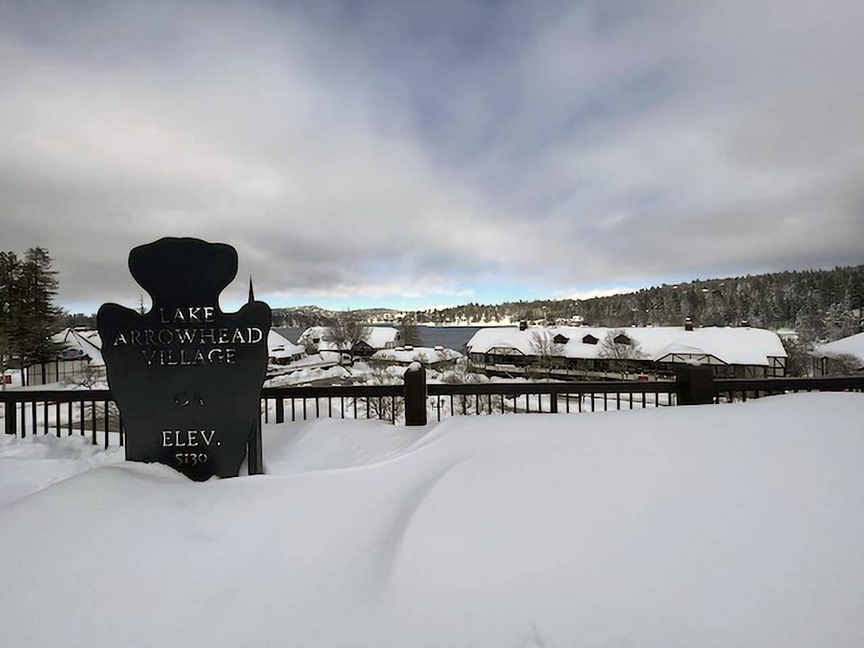
Mammoth Lakes, traditionally one of the snowiest places in California, had nearly 4 feet (1.2 meters) of snow over the past three days. Snow drifts were taller than houses, and crews worked around the clock to keep roads and sidewalks clear.
Homeless people and those without electricity were at special risk from the cold, the weather service said.
The storm comes a week after storms stretched from the Pacific Coast to the northern Plains and is now blamed for two deaths in Portland, Oregon. One of them died of hypothermia on Tuesday, according to a medical examiner.
The National Weather Service predicted that a powerful weather system would affect most of the lower 48 states into Thursday, with heavy snow across the Southwest and some portions of the high Plains, but also record high temperatures in the Gulf Coast into the Ohio Valley and a threat of tornadoes from the southern Plains to the mid-South.
“The system is going to be moving generally east-northeast and fairly fast, so it’s going to cross the country in a few days,” said meteorologist David Roth. Six to 12 inches (15 to 30 centimeters) of snow could eventually fall in upstate New York, Vermont and New Hampshire, Roth said.
Areas in the dividing line between hot and cold, such as the lower Mississippi Valley and Tennessee Valley, could see heavy rain, thunderstorms and some flash flooding. The high could top 100 degrees (38 Celsius) across far south Texas, and windy, dry conditions would make for a critical risk of wildfire conditions across in parts of the Southwest for the next few days, according to the weather service.
Recent storms around the country have delayed travel, shuttered schools and overwhelmed crews trying to dig out of the snow and repair downed power lines. More than 67,000 customers were without power Wednesday morning in Michigan, which is still recovering from ice storms, and just over 100,000 in California, according to the website poweroutage.us.
Weather also continued to play a role in the cancellation of nearly seven dozen flights and delays of hundreds more around the country.
In California’s Sierra Nevada, the weather service warned that travel could be difficult to impossible because blowing snow could cause whiteouts on roads, while wind chill factors as low as minus 30 (minus 34 Celsius) could quickly cause frostbite.
The Lake Tahoe area that straddles the California and Nevada borders in the Sierra Nevada was expected to have blizzard conditions with winds gusting to 100 mph along the ridgetops, while the lake itself could see waves large enough to capsize small boats, the weather service warned.
“If you risk travel you could become stranded in vehicles for hours,” the weather service warned.
Yosemite National Park, closed since Saturday because of heavy, blinding snow, postponed its planned Thursday reopening indefinitely.
The Sierra snowpack provides about a third of the state’s water supply and the water content of the snowpack Tuesday — in a state grappling with years of drought — was 186% of normal to date. It was 162% of the average on April 1, when it is historically at its peak, according to the state Department of Water Resources’ online data.
—The Associated Press
RELATED: California snowpack off to great start amid severe drought
RELATED: ‘Bomb cyclone’ brings damaging winds, rain to California