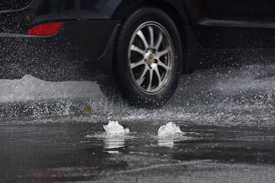
An atmospheric river bringing warm air and moisture all the way from Hawaii is to blame for Monday’s record-breaking rainfall in Greater Victoria, according to Environment Canada.
The Malahat received the worst of the rain on Monday, with the weather agency recording 88 millimetres, enough to set a new record for precipitation for Nov. 15. Victoria International Airport and Gonzales Point also set new records for the date, with 79 and 72 millimetres recorded, respectively.
Meterorologist Bobby Sekhon said as bad as the storm was on Monday morning, it is important to note the rain started on Saturday and continued nearly non-stop, pushing the total rainfall for the region higher.
Combining those three days the Malahat received 188 mm of rain, the airport 126 mm and Gonzales Point 120 mm.
“Certainly there were a lot of records set, especially in the Fraser Valley where the precipitation was the most heavily concentrated,” Sekhon said. “It was certainly a heavy precipitation event.”
Atmospheric rivers are a weather phenomenon the Island can expect to deal with most falls and winters, but there have already been several this year, making September and October wetter and more active from a weather perspective.
Fortunately, Sekhon said, the southern Island is expected to get a bit of a break from the wet weather this week.
Tuesday is expected to be mainly sunny with a high of 10 C and an overnight low of 1 C. Wednesday the clouds will creep back in, though the rain is expected to hold off. The high will be 7 C with an overnight low of 4 C.
Rain is forecast to return Thursday, with high of 6 C and an overnight low of 0 C. The sun is set to return Friday bringing a high of 8 C along with it. The rains return overnight and are forecast to continue on and off through Monday.
READ MORE: Malahat reopening to alternating traffic following safety assessment
READ MORE: Goldstream salmon swim beside picnic tables amid surging stormwaters
justin.samanski-langille@goldstreamgazette.com
Like us on Facebook and follow us on Twitter.
