Despite recent upgrades at Lansdowne and Foul Bay intersection it’s among a handful of “interesting” intersections popping up thanks to an interactive cycling map that covers Greater Victoria.
Bikemaps.org is a web-map created by University of Victoria geography professor Dr. Trisalyn Nelso and a team of researchers in the UVic Geography SPAR Lab (Spatial Pattern and Analysis Research) to collect comprehensive data on cycling safety. Cyclists record bike crashes, near misses, hazards and thefts for any location in the world.
“We are trying to improve data that’s available. We only capture about 30 per cent through ICBC and police reports … so we’re really exited we’re getting good data,” Nelson said.
CRD residents have mapped over 475 incidents since October 2014.
“What we’re seeing in areas like Oak Bay is that these kinds of hotspots didn’t show up in the ICBC data,” she said.
Geography appears to be an issue on Foul Bay, geographically both up and downhill as it leads to cross with Lansdowne, where volume becomes a concern.
“We have a combination of busy with vehicle traffic, there’s a lot of cyclists going to Camosun and UVic, and at that particular spot you have that big hill,” she said. “Cyclists go fast down the hill. It’s hard not to because it feels so good, but it’s a bus route and you’ve got buses trying to access the side of the road and you’ve got a lot of traffic coming off Lansdowne.
Then there are those cyclists attempting to traverse lanes to turn left to access Camosun.
“It’s a confluence of the terrain, busy in terms of ridership and busy in terms of vehicles. It’s a busy, confusing place,” Nelson said.
Estevan Village also pops up on the map along with a couple of crashes near Windsor Park and Beach Drive. Richmond Road has become an alternative to Foul Bay for cyclists with less experience or children in tow she said, so there have been an number of reports at Richmond and Fairfield Road.
Many of the intersections are areas where residents might previously have deemed them dangerous with only anecdotal information to back that up.
“It’s interesting how the perspective of the community collective seems quite accurate,” Nelson said.
The map also pinpoints thefts of bikes and bike components.
“We’re primarily interested in collecting data on the collisions and near misses, but the theft technology was the same so we added it in there, and people are interested in where and when it’s safe to park your bike,” she said.
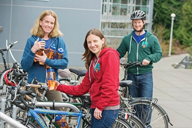
With Bike to Work Week wrapping up this weekend, she expects the already impressive feedback to jump this week, and hopes that continues.
They expect to have an android app for the map released in the next month and an iOS app later this year.
“We would love them to continue to provide feedback,” Nelson said. “As they start to use the app they will be able to sign up for automated alerts, so when an incident is reported in their riding area they’ll know.”
The project is garnering worldwide interest with translation to Dutch, German, French and Spanish underway.
Find the map at bikemaps.org.