With a newly awarded $1 million grant, the future is bright for commuter cycling app BikeMaps.org.
The website and smartphone app was launched by a group of University of Victoria geographers two years ago and is based out of the Spatial Pattern Analysis and Research Lab. It provides a global map for cycling collisions, near misses, road hazards and thefts.
BikeMaps’ key feature is the identification of hotspots on bike routes. If a cyclist is involved in a near miss, for example, they place a ‘pin’ on the map and include a brief description of the incident. The app has gained a solid following in Victoria and is hoping to build its user-ship into Edmonton and Ottawa first, and then Montreal, Halifax and Vancouver.
As of Feb. 16, the BikeMaps crew officially joined forces with Ottawa-based Traffic Injury and Research Foundation in sharing a $929,739 grant from the Public Health Agency of Canada.
The grant is good for three years and will work to promote BikeMaps as a “tool for safe and accessible bicycling and healthy living promotion.”
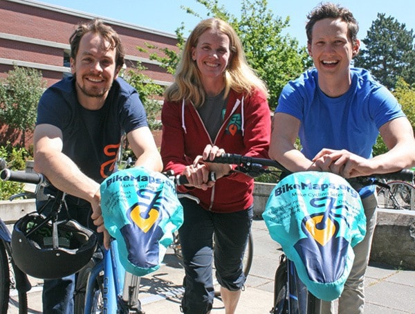
“The grant will allow us to do outreach in more Canadian cities, and to get data points in more cities,” said BikeMaps executive director Karen Laberee. “TIRF already has a presence in Ottawa and Edmonton and will help promote BikeMaps there.”
The data that BikeMaps provides is appealing to TIRF and municipalities alike because of the near misses, which help verify whether an area is unsafe.
Locally, BikeMaps relies on a campaign in the lead up to and throughout Bike to Work Week to help reach a wider audience. The team practices what it preaches as Laberee commutes to UVic on her bike from Gorge-Tillicum, post-doc Colin Ferster rides in from Swan Lake and intern Conner Leverett cycles from Gordon Head.
Because the app is global, there has been organic growth of users in places BikeMaps hasn’t actively targeted, such as Reykjavik, Iceland, Asheville, N.C., and Windsor, Ont.
“We were contacted by someone in Reykjavik and then the pins (hotspots) started to show up,” Laberee said.
Other times they’ll see spikes in certain areas and have to research how it happened. In one instance Mountain Equipment Co-op included BikeMaps.org on a Facebook post, resulting in a surge of pins.
Ferster’s role with BikeMaps is to monitor how people are using the program and what they’re getting out of it, to see if BikeMaps can be further developed to meet demands.
Leverett is focused on the data side of things, such as, the numbers within specific areas.
The McKenzie-Galloping Goose intersection is among the most dangerous in Saanich, particularly where cars merge onto the highway from McKenzie.
“At least once per week, I have a near miss with a vehicle in the Galloping a Goose trail and McKenzie Avenue crosswalk, where the vehicle is turning right in the dedicated turn/merge lane heading westbound,” says one report.
“Vehicles do not watch for cyclists or users of the crosswalk at this dangerous location.”
In total, Saanich has 59 collisions, 151 near misses and 90 hazards to date. The incident reports peak between Tuesday and Thursday during the week, with Wednesday being the highest. Reports also peak at rush hour between 8 and 9 a.m., and between 4 and 6 p.m.
BikeMaps was started in 2014 by associate professor Trisalyn Nelson, then-undergrad student Taylor Denouden and SPAR masters student Ben Jestico.