The Capital Regional District’s newest online map highlights the services, facilities and places that provide opportunities for social connection among older adults.
“This is a derivative product of our regional map,” said Ken Johansson, senior GIS administrator with the CRD. “That’s one of our most popular pieces of technology we deploy.”
With grants in hand from the Victoria Foundation and CRD Traffic Safety Commission, they embarked on the pilot project for a walking map that mirrors the popular community map – part of the Active Transportation & Healthy Communities Program which aims to encourage and support residents to walk, cycle and roll more often.
“It was also a priority for our CRD board to look at our aging demographic in the region,” said Shannon Clarke, CRD healthy communities planner. “We thought it might be useful for service providers, planners and for older adults themselves and caregivers to have an online resource.”
Increasing social connectedness is a common goal identified by the CRD and its partners at the Eldercare Foundation, Island Health, BC Healthy Communities and the United Way of Greater Victoria.
Identifying opportunities for improved health and wellness as opposed to illness care strikes a chord with Clarke, whose work is focussed on addressing the social determinants of health.
“It’s been really well received so far,” Clarke said.
“We have had some feedback mostly from the service providers and caregivers. The primary user we’ve found is more the service providers.”
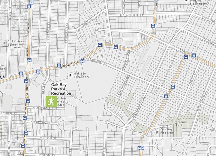
The map identifies places for recreation, lifelong learning, volunteering, support groups and social centres in a bid to support social connections.
By visually linking the places with information on public transit and other walking routes, the map is a tool that can be used by older adults, their families and their caregivers across the capital region.
“We’re just in the stage now of getting feedback from users on what’s working and not working and if we expand on this resource what we can change,” Clarke said.
They’ve gone out to some of those places and done engagement, including tutorials.
Both hope the pilot project will thrive and grow.
“It really depends on its usefulness to the user,” Clarke said.
“As long as there’s a need for it from our partners in the community we’ll get creative and hopefully get funding.”
With some recent Island Health funding, they hope make it as intuitive as possible, Johansson said, since what makes sense to them, might not be as clear to the user.
“We’re trying to figure out how we can have people find information in as few clicks as possible and see what’s available to them,” he said.
“We’re in the process of planning an expansion to the map. … We’re trying to find out what people want to see over the next year.”
They have some funding in place, and hope to seek more in improving and upgrading the resource.
“We’re not sure yet what that might look like or what that might be.” Johansson.
“Given limited funding and time we want to make sure we’re making the changes that are most important,” Clarke added.
Visit maps.crd.bc.ca/community/ to find the map and a survey.
“This map is available on a mobile device as well,” Johansson said. “So you can take it with you.”
Map users can email maps@crd.bc.ca to provide feedback.